
Walk a Walla Walla Street
Begin with the exact number and street name. Keep unit letters and directional words, but try a partial street name if the county form returns nothing. The aim is to move from a place to a parcel, then to records that identify ownership or activity there. Residency is a separate question. An owner may receive mail elsewhere, and a directory describes only the period when its publisher gathered data.
- Run the address in the Walla Walla County PropertyAccess search. Save the property ID, parcel number, situs address, and owner field displayed.
- Open the result map and inspect the parcels along the street.
- Use the parcel or legal description in the Auditor's recorded-document index.
- Check the matching permit route for work tied to that address.
- For an older household, use dated directories, newspapers, and archival maps.
That sequence makes a street-directory finding auditable. Each saved identifier offers a route back to the custodian if two records conflict.
Walla Walla Street Search Fields
PropertyAccess is the strongest current address-first tool. Its form offers more than a basic owner box. The static form did not show an explicit owner-name control, although official county exports contain an Owner Name column. Use Search Type or Advanced with care, or call the Assessor at 509-524-2560 rather than assuming the control remains available.
| Field | Input | Street use |
|---|---|---|
| Street Number | House number | Limits a street result |
| Street Name | Full or partial name | Finds parcels containing the words |
| Property ID | Six-character ID | Returns to one property |
| Parcel Number | County parcel format | Links map and legal records |
| Sale Date | Beginning and end dates | Narrows a transfer period |
| Subdivision | Selected subdivision | Groups lots beyond street spelling |
| Township/Range | Land survey | Helps with old descriptions |
The result can show Property ID, parcel number, property address, owner name, tax area, type, appraised value, sale date, Details, and Map. The property address is the situs, meaning the physical location. It need not be an owner's mailing address.
Open the county address form before viewing the captured search screen.
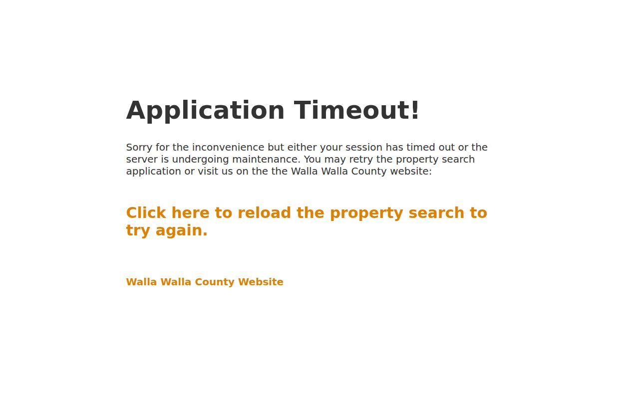
The screen confirms the street, parcel, sale, subdivision, and land-survey routes used for the Walla Walla street directory.
Walla Walla Records by Address
No single street index covers every fact. These systems overlap, but each has its own purpose and access channel.
| Address source | Keeper | What it shows | Access |
|---|---|---|---|
| Parcel record | County Assessor/Treasurer | Parcel, situs, owner, value, sale fields | Portal, map, phone, office |
| Recorded instruments | County Auditor | Deeds, liens, releases, plats | EagleWeb since 1951; counter or mail |
| Land use | Development Services | Permit, work, and inspection fields | eTRAKiT, city portal, staff |
| Voter data | Washington SOS | Statutory public registration fields | MyVote or formal file request |
| Old directories | Whitman Archives, State Library | Dated names, addresses, firms | Reading room or appointment |
A parcel result does not prove residence, and an index entry is not a certified instrument. Preserve the source, date, and custodian with every result.
Map Walla Walla Street Parcels
The City interactive GIS page offers Search and Identify tools plus street, asset, tree, project, and other layers. County PropertyAccess has Map Search and can show selected parcels together. A map helps confirm which parcel touches an address. It does not establish occupancy or legal title.
Map layers carry dates. The Williams Road and Prospect Avenue annexation file, ANX-25-0003, is a useful local warning: a proposed annexation record does not prove that each listed parcel has already joined the city. Save the map date and parcel identifier because jurisdiction may change while a street number stays put.
Walla Walla Permits by Street
County eTRAKiT exposes Parcel Info, Owner Info, Land Use, Building, Legal Desc, and Inspections tabs. It answers building and land-use questions, not title questions. The city community-development portal handles permits, uploads, payments, inspections, maps, and resubmittals.
Published city permit logs can include permit number, address, description, status, contractor, owner, APN, value, and application, approval, and issue dates. Treat each as a dated project field. Matters submitted before August 19, 2025 may need help from Development Services after the software conversion.
View the county parcel search before using the captured interface.
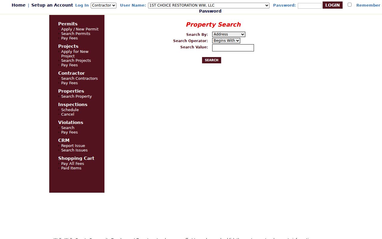
The tabs show why permits belong beside, rather than in place of, Assessor and Auditor records.
Follow Walla Walla Deeds
The Auditor's EagleWeb index covers recorded documents from January 1, 1951 forward. Public Login permits searching and unofficial watermarked images. Search by grantor, grantee, reception number, date, document type, subdivision, block, or lot. A grantor gives an interest; a grantee receives one.
Basic name search expects surname first. Advanced search ignores word order. Official help permits an asterisk wildcard, a plus sign for a required word, and a minus sign to exclude one. Find Related may locate instruments that cite the open document or share a legal description.
Read EagleWeb search help before viewing the captured controls.
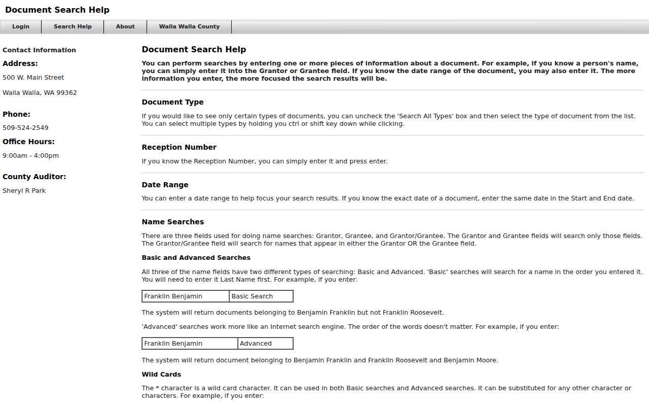
The operators and lot fields support a precise by-street search when names change.
Walla Walla Street Terms
Address work improves when similar terms stay separate.
- Parcel
- A tract identified for assessment and mapping. One address can involve several parcels.
- Situs address
- The property's physical location, which can differ from a mailing address.
- Plat
- A recorded map dividing land into lots, blocks, streets, or easements.
- Criss-cross directory
- A volume arranged by street and number. A Walla Walla-specific run was not confirmed online.
Use a legal description when a street label is unstable. It bridges parcel, deed, plat, and map sources better than a guessed old number.
Older Walla Walla Street Clues
EagleWeb begins in 1951. State Library Walla Walla city-directory runs begin in 1900, and Whitman Archives holds directories, newspapers, yearbooks, and regional manuscripts. The Library of Congress also has three public-domain Walla Walla Sanborn sheets from 1884. Each freezes buildings and street uses at one moment.
No official comprehensive renumbering table was located. Compare year, cross street, map sheet, legal description, occupant or firm, and newspaper notices. For exact directory runs, consult the Walla Walla city directory page rather than assuming each volume has a street section.
Note: A gap in a holding list does not prove that no directory was published that year.
Get Walla Walla Record Copies
Portal images are unofficial. The Recording Department charges $1 per page for an official copy. A certified copy costs $3 for the first page and $1 for each added page of that document. Mail requests need the Auditor's File Number and return address. Send them to PO Box 1856, Walla Walla, WA 99362, or visit 500 W Main Street during the listed 9 a.m. to 4 p.m. window.
Poor historic images may be indexed but not shown, while veteran discharge papers can be index-only. Ask the Auditor. For pre-1951 work, use the Auditor, Eastern Washington Regional Archives, directories, and maps.
The file number is more dependable than a party name when ordering. It points staff to one recorded instrument, while a common surname may produce many unrelated rows. State whether an ordinary or certified copy is needed. Certification is the custodian's formal assurance that the copy matches its record; the watermark printed from a public portal is not that assurance.
Property records have a different fallback. The County Assessor is at 315 W Main Street and can be reached at 509-524-2560. Ask which current or prior-year parcel detail is available when the web form cannot display it. The Eastern Region Archives in Cheney is the archival route for transferred local-government material, with Digital Archives serving as the online catalogue for selected series. A careful Walla Walla street directory search records each office contacted and the scope of its answer.
Walla Walla Voters by Street
VoteWA/MyVote lets a voter check that person's own registration with name and date of birth. It is not a public neighbor search. A statewide voter-file request is separate. RCW 29A.08.710 identifies certain public fields, subject to restrictions. Washington does not register voters by party, and voting history does not reveal ballot choices.
RCW 29A.08.720 restricts solicitation and other uses. Address Confidentiality Program data must never be reverse-matched through parcel, directory, or map sources.
Limits of Walla Walla Streets
A Walla Walla street directory cannot show every person at a home. Parcel data centers on land and ownership. Deeds show instruments. Directories are dated, voter files omit protected data, and permits describe projects. A missing result means only that this route did not return a public record.
Likewise, a Walla Walla street directory does not convert a postal label into a city boundary. USPS lists 99362 as the primary Walla Walla ZIP and 99363 for Wallula, but ZIP geography serves mail delivery. County parcels, city GIS, and the effective record for an annexation answer different geography questions. Check the source date before describing a parcel as inside city limits.
Lawful use. Use Walla Walla address records for lawful personal, family-history, property, or civic research. Never stalk, harass, intimidate, or defeat a protected address.
Confirm important facts with the custodian. Keep the record as the unit of research, not a dossier about a private person. The best street directory result remains narrow: it states what one official source showed, when it showed it, and what that source cannot prove.
If the goal is family history, a street directory can supply a dated bridge to census and newspaper work. If the goal is title history, stay with the Assessor, Auditor, plats, and legal descriptions. For a permit question, use Development Services. Keeping those paths separate prevents a plausible address match from turning into an unsupported claim about a household.